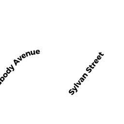
1 SYLVAN ST
Owner Information
TOWN OF DANVERS
1 SYLVAN STREET
DANVERS, MA 01923


Property Details
1 SYLVAN ST is classified as a Improved, Selectmen or City Council (Municipal) (Govt bldgs).
The primary structure on this property was built in 1855. There are 23,115ft2 of built area within this property. There is 23,115ft2 of residential/living space within this property.
1 SYLVAN ST is valued at $2,893,800. The land is valued at $300,900 and the structures are valued at $2,590,700. There is an additional valuation of $2,200 on this property.
This property is in Zone R1. Confirm with local Zoning Board authorities to ensure there are no overlays or other easements on this property.
1 SYLVAN ST was last sold on Tuesday, February 7, 1989 for $0.
Assessment data from fiscal year 2022.
Flood Data
According to the FEMA National Flood Hazard Layer, this property does not appear to be in a flood zone. It may also be in an area not yet reviewed. Nonetheless, confirm this information prior to taking any action.
To view the flood hazards around this property, create a FEMA "Firmette" Map of the area around 1 SYLVAN ST.
Broadband Internet Providers
| Provider | Type | Bandwidth (mbps) | |
|---|---|---|---|
| T-Mobile | Fixed Wireless | 25 | 3 |
| VSAT Systems, LLC. | Satellite | 2 | 1 |
| HughesNet | Satellite | 25 | 3 |
| GCI Communication Corp. | Satellite | 0 | 0 |
| Comcast | Cable | 1000 | 35 |
| TPx Communications | Copper Wire | 0 | 0 |
| Verizon New England Inc. | Fiber | 940 | 880 |
| Verizon New England Inc. | DSL | 10 | 1 |
| Viasat Inc | Satellite | 100 | 3 |
Broadband service provider data from December 2020.